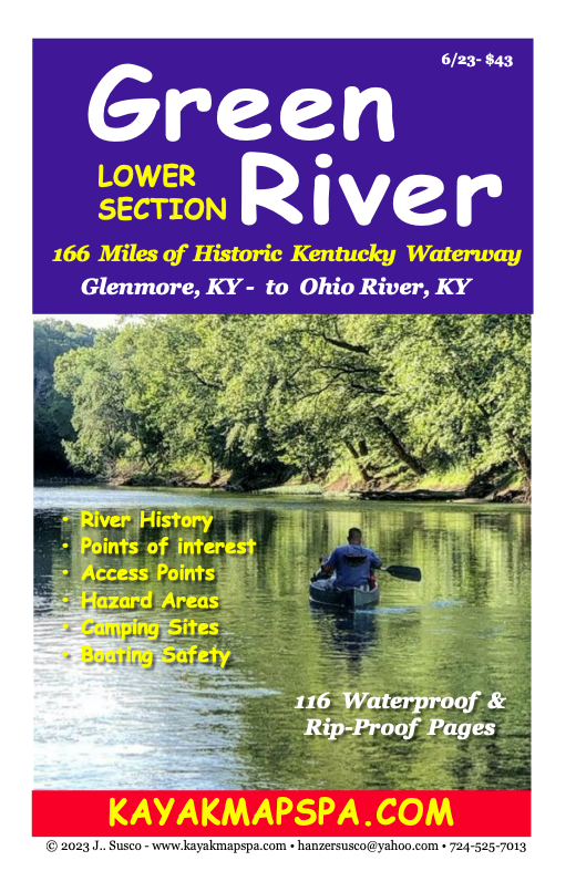
Kayak & Canoe Lower Green River
Kentucky - Map Book

Lower Green River, Kentucky Water Trail Maps...from Glenmore to Ohio River.
166 miles of Scenic & Historic Waterways. Featuring the history, topography, access sites, hazard areas, camp sites, points of interest and safety tips in a detailed easy to follow mile-by-mile format in a handy packable size. 116waterproof & Rip-Proof spiral bound synthetic pages with clear vinyl protective cover. An excellent paddling tool that makes paddling safer
and more interesting. Include
correct shipping address
with order. Free Shipping
$43 plus Tax
Hover over slide pic to stop. Use arrows to navigate pages. Unhover over pic to restart slide show.
eBook PDF Version $20.50
Own a PDF eBook version now available to view on your portable device or computer. (No Cell Signal or Internet needed to view.)Click on "Add to Cart" Button below. Short Delay...After your order, a link to download your PDF file will be emailed to you by the seller...Same day.